Precision from Every Angle. Data for Every Decision.
Seven integrated services for capturing a site and turning it into decisions you can defend — from measurable basemaps and bare-earth terrain to dimensionally accurate 3D models.
Orthophotos
•
Cartography
•
Digital Twins
•
Reality Capture
•
Aerial Inspection
•
GIS Analysis
•
Terrain Mapping
•
Site Digitization
•
3D Visualization
•
Topography
•
Contour Mapping
•
Terrestrial SLAM
•
Cut/Fill
•
Stockpiles
•
Takeoffs
•
Hydrology
•
360° Capture
•
Orthophotos • Cartography • Digital Twins • Reality Capture • Aerial Inspection • GIS Analysis • Terrain Mapping • Site Digitization • 3D Visualization • Topography • Contour Mapping • Terrestrial SLAM • Cut/Fill • Stockpiles • Takeoffs • Hydrology • 360° Capture •
-
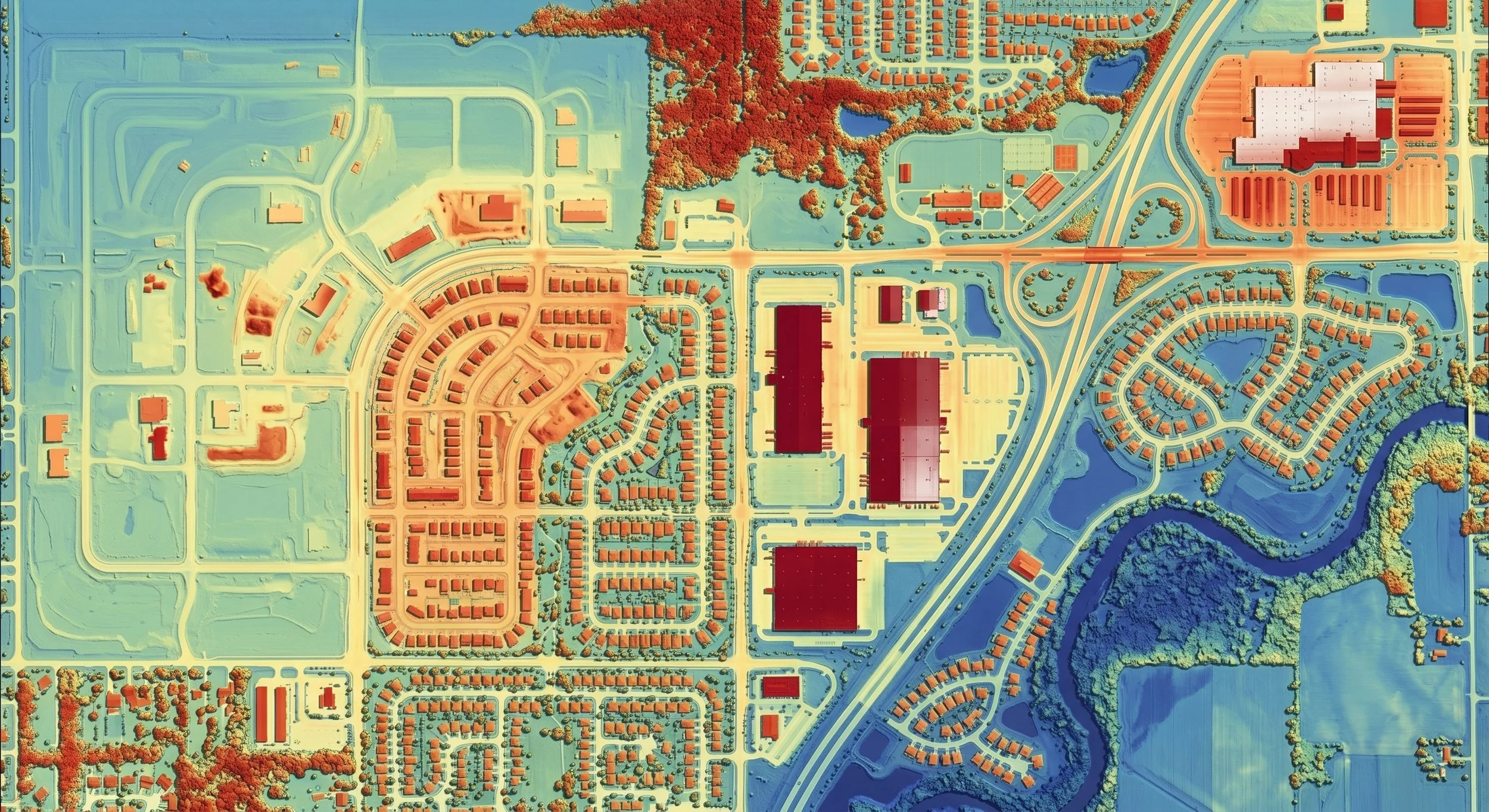
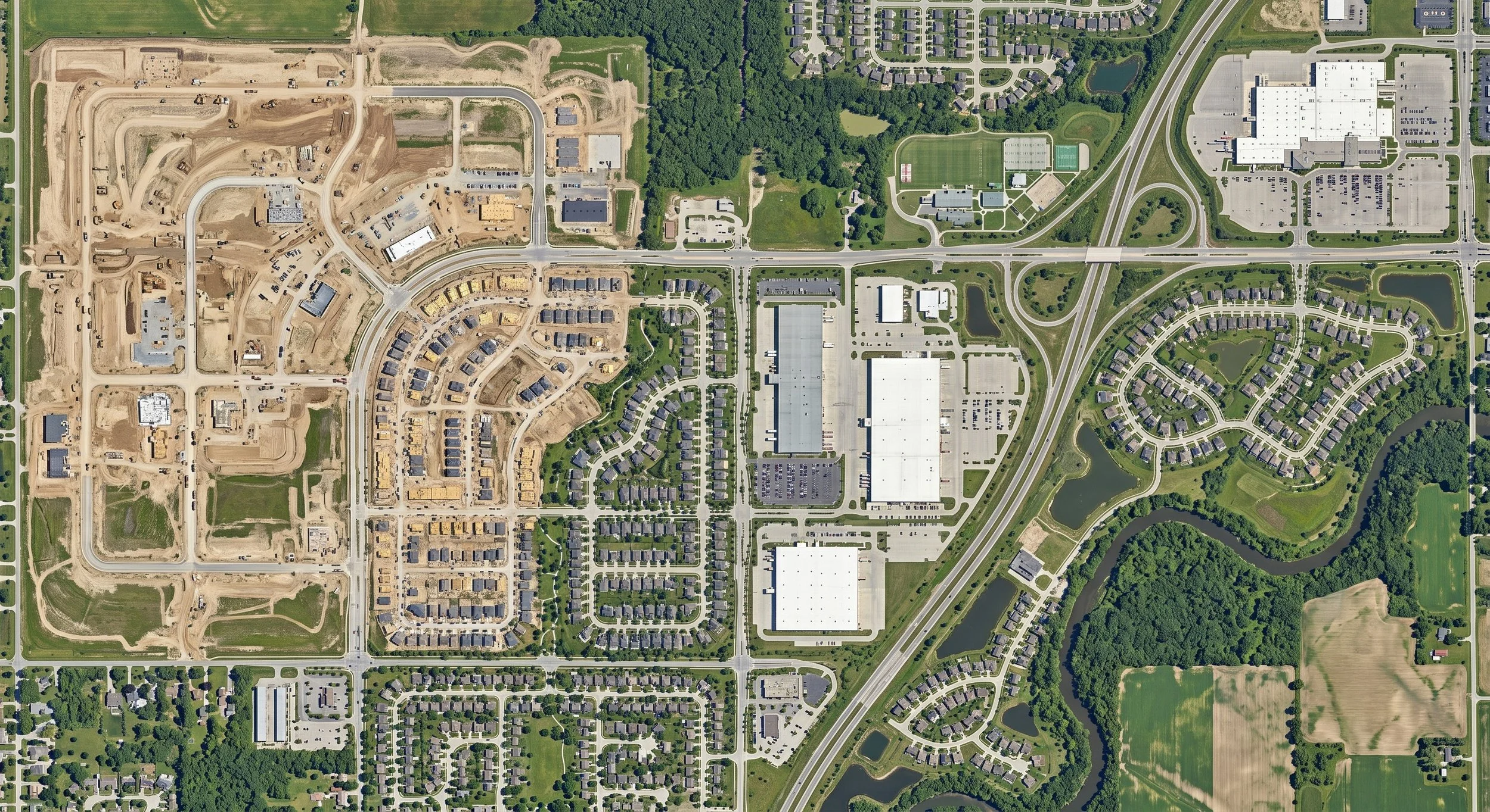
A measurable basemap, not just a photo. Replace aging satellite imagery with a current, distortion-free orthomosaic — a centimetre-accurate map where every pixel sits in its true position, ready to measure and build on. Read more…
-
A replica you can measure. Turn your site into a dimensionally accurate 3D twin: measure it, place proposed design into it, and walk it remotely — all on real-world coordinates that drop straight into your BIM workflow. Read more…
-
Volumes you can defend. Measure the whole surface instead of estimating between stakes — auditable stockpile and cut/fill volumes, reported with a stated uncertainty bound rather than a guess. Read more…
-
Capture, made decision-ready. Layer reality capture against utilities, easements, and constraints to surface the risks no single dataset shows — then map them so every stakeholder can act on the answer. Read more…
-
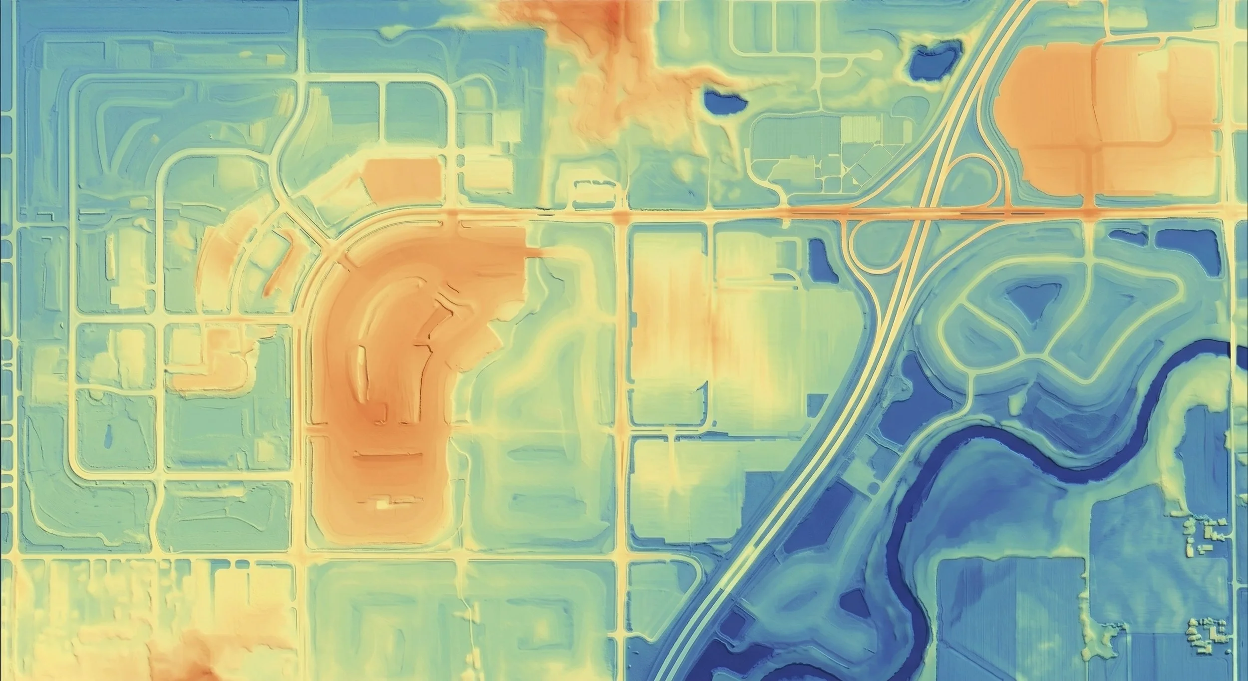
Bare-earth terrain for design. Classified DTMs and contours, tied to ground control and delivered at true ground scale, ready for grading, drainage, and civil design. Read more…
-
See the whole asset, safely. High-resolution standoff capture of roofs, facades, and structures you can’t easily reach — a dated, geolocated record that supports condition reviews and keeps crews on the ground. Read more…
-
Ground-level capture where the drone can’t see. Centimetre-level SLAM LiDAR for measurable interior as-builts, paired with fast 360° walkthroughs for a visual record from the ground up. Read more…