
Orthographic Mapping
A measurable basemap, not just a photo from above
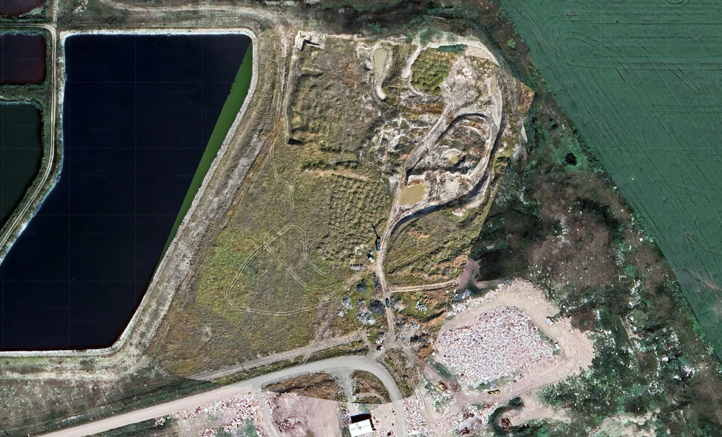
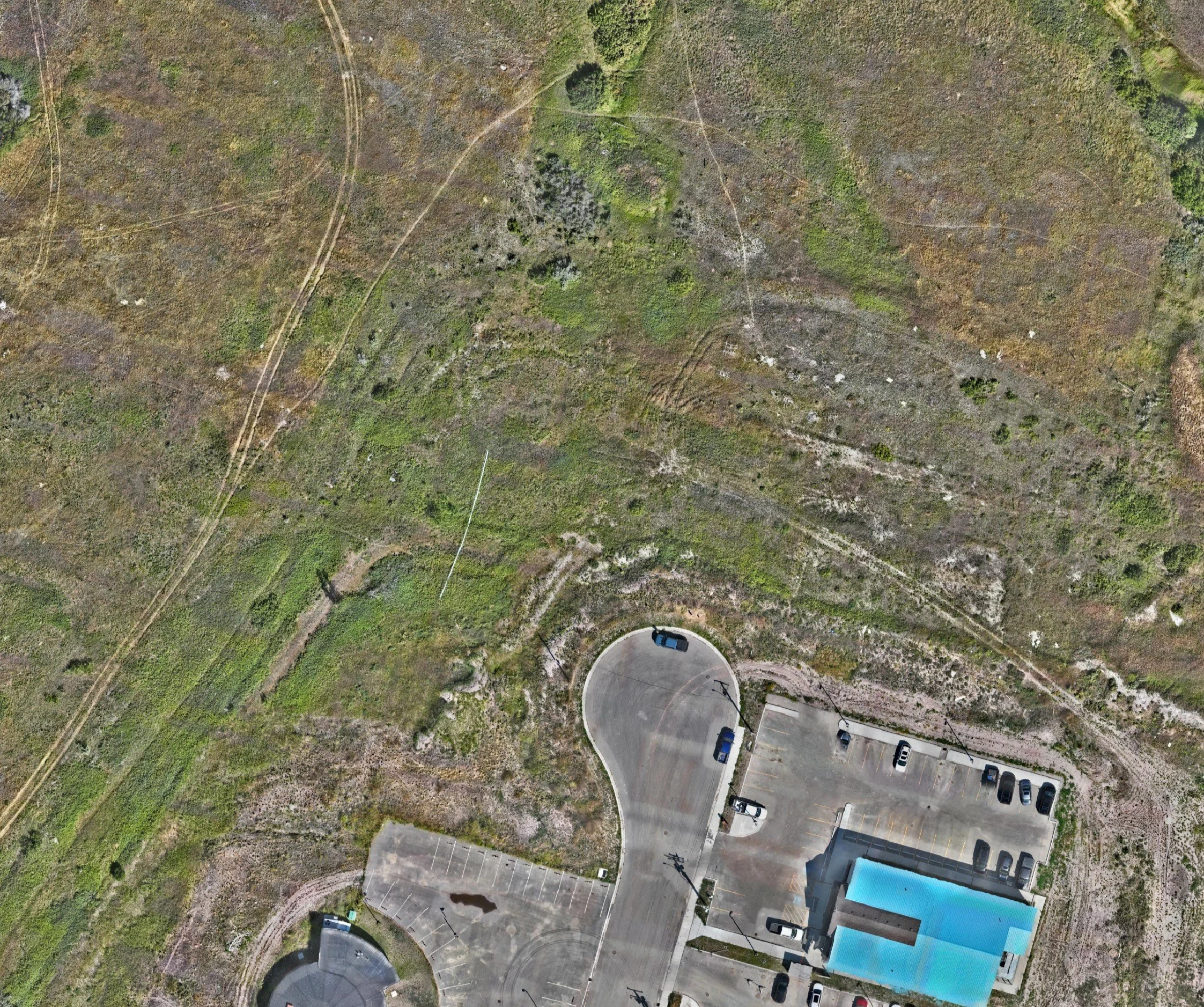
A single aerial photo looks useful until you try to measure something on it. Lens distortion, camera tilt, and terrain relief make objects lean and scales drift, so a tape pulled across the image lies to you. An orthomosaic fixes that. By orthorectifying thousands of overlapping frames, we remove the perspective and relief errors and produce one seamless, uniform-scale image where every pixel sits in its true geographic position.
The result is a basemap you can actually work on — measure distance, area, and footprint directly, overlay design files, and trust that what you see is where it is.
Built to engineering tolerance
• Tied to real-world control. Ground control points and multi-band GNSS workflows lock the imagery to a known datum and the Alberta 3TM projection, so the map agrees with your survey, not just with itself.
• Delivered at true ground scale. We apply the local combined scale factor and hand off at 1:1, so our orthos drop straight into Civil 3D, Revit, and IFC environments without coordinate translation headaches.
• More than a picture. The same capture yields dense point clouds and Digital Surface Models for contouring, drainage, and volumetric work downstream.
• A dated record of truth. Repeat flights build an indisputable visual timeline — compare as-built against as-designed and catch deviation before it becomes a change order.
Where it fits
• Pre-construction — Establish a current baseline of existing conditions, neighbouring structures, and constraints to plan logistics and document the site before mobilization.
• Active construction — Overlay the week’s ortho on your design model to verify progress, and capture utilities and reinforcement before they’re covered.
• Earthworks — Feed measurable surfaces into cut/fill and grading checks against the finished-grade design.
• Close-out & operations — Hand the owner a geodetically accurate as-built record for permitting, future renovations, and asset management.