
A Common Visual Language: Driving Smarter Project Delivery with Ortho Maps
At Ortho Maps, we don’t just capture data — we deliver spatial intelligence. Explore how our integrated geomatics solutions bring stakeholders together and drive smarter project delivery from planning to turnover.
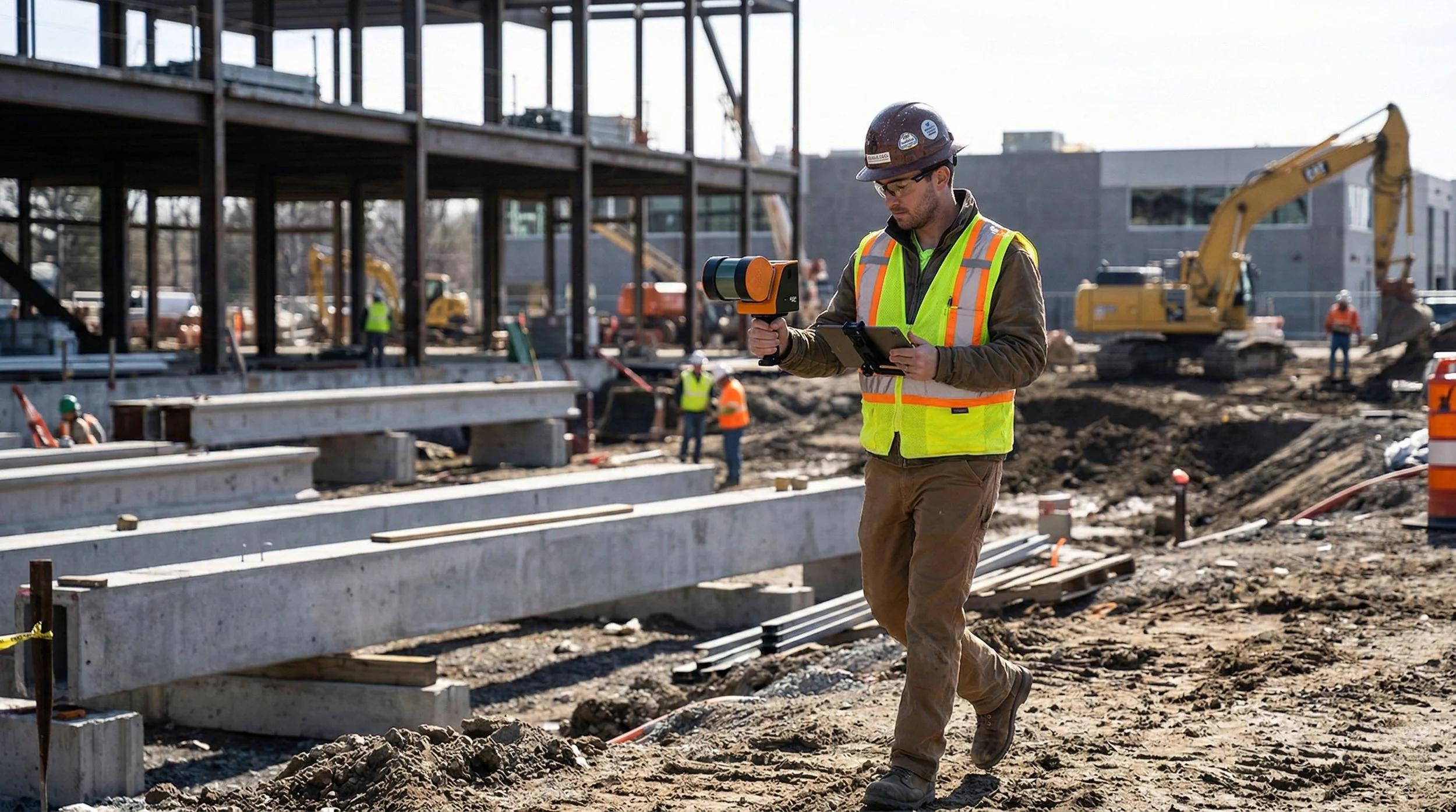
Beyond the Design Model: Terrestrial SLAM vs. 360° Capture in Capital Projects
Explore the critical differences between Terrestrial SLAM and 360° Capture. This post breaks down when to prioritize engineering-grade LiDAR measurements versus high-speed visual documentation to keep your capital projects on track and under budget.
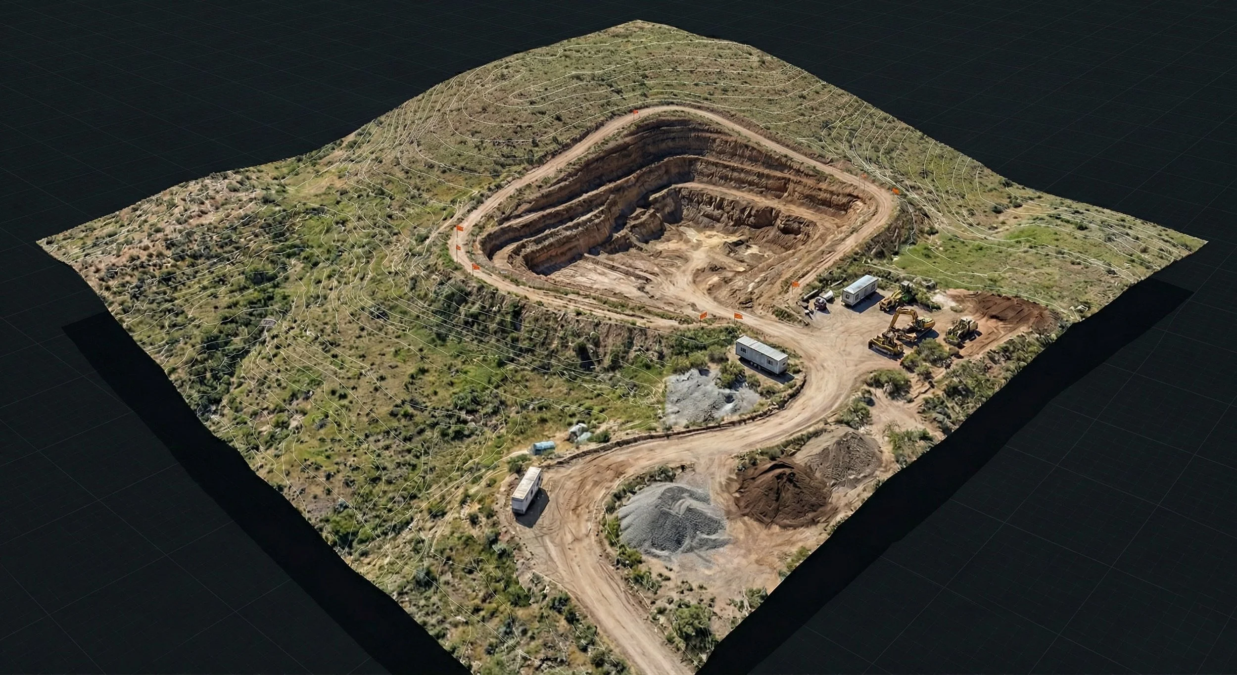
Beyond the Blueprint: Understanding Digital Twinning and 3D Virtualization in Capital Projects
Stop thinking of Digital Twins as complex IT projects. In AEC, a Digital Twin is your project’s digital mirror — a highly accurate 3D virtualization that streamlines planning, communication, and construction. Discover how Ortho Maps uses reality capture to bridge the gap between the blueprint and the build.