
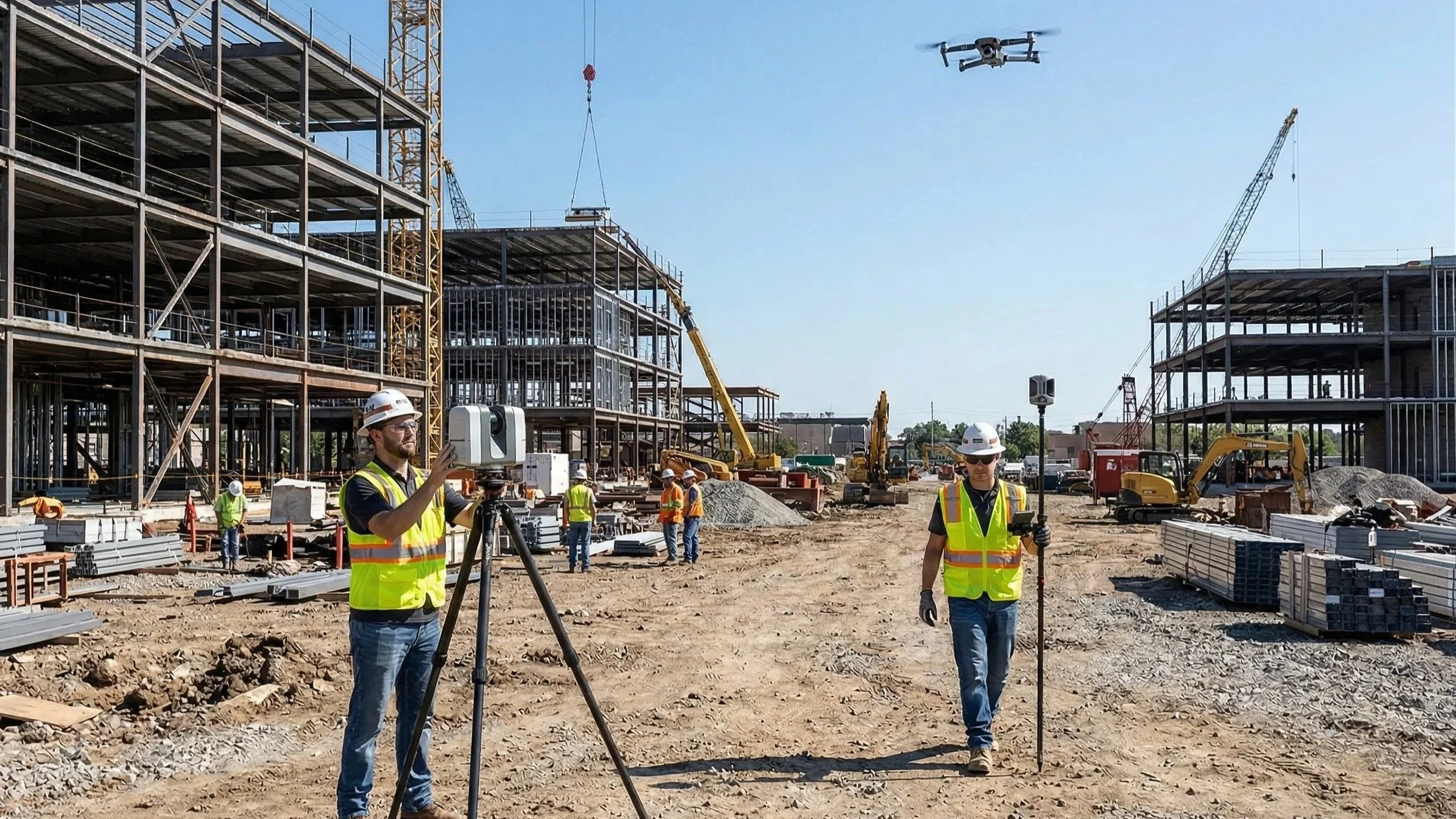
Drones in the Sky, Lasers on the Ground: How We Capture Reality at Ortho Maps
Discover the Ortho Maps approach to reality capture. We explain why combining the broad, photorealistic context of aerial drone photogrammetry with the hyper-accurate, structural detail of ground-based terrestrial LiDAR creates the perfect digital twin for your projects.
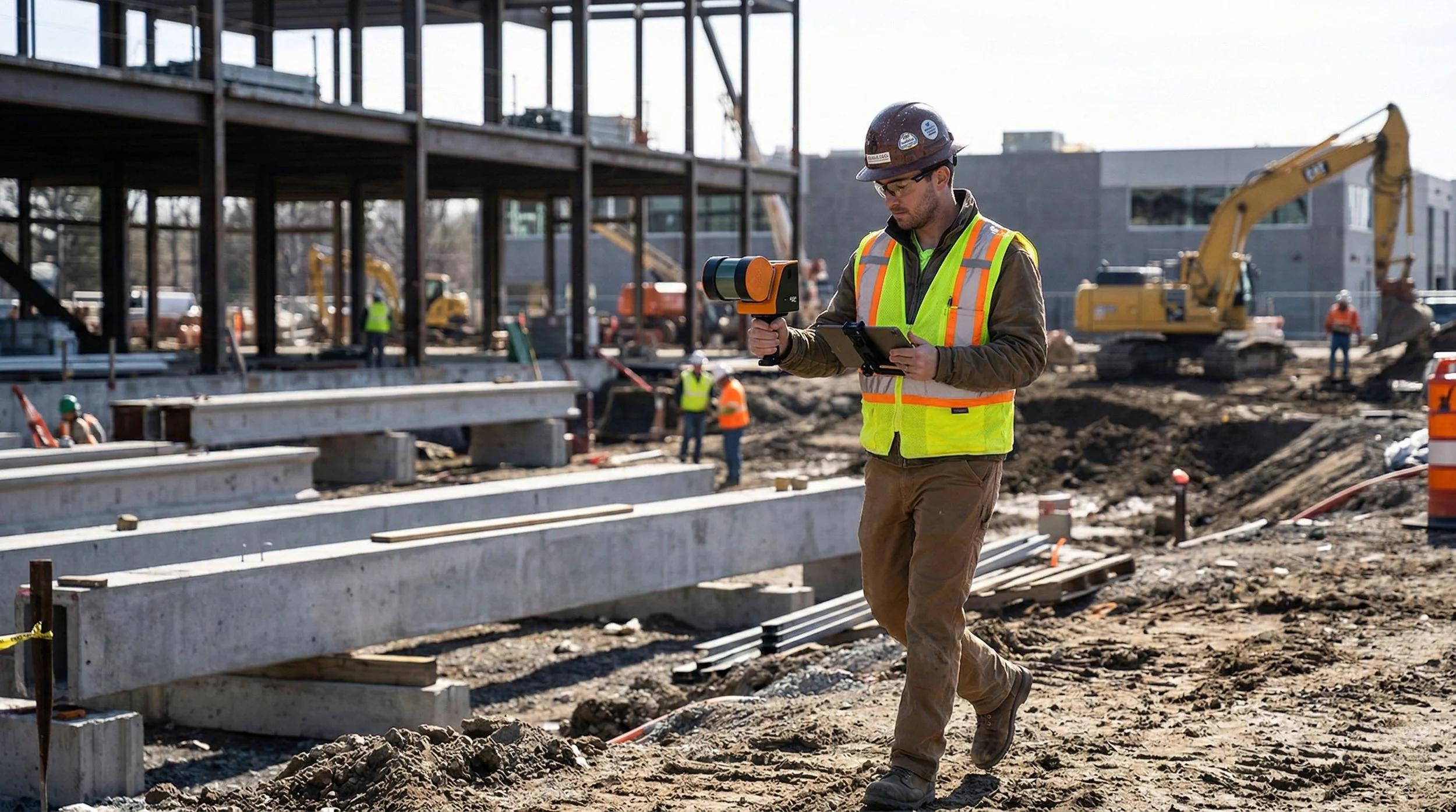
Beyond the Design Model: Terrestrial SLAM vs. 360° Capture in Capital Projects
Explore the critical differences between Terrestrial SLAM and 360° Capture. This post breaks down when to prioritize engineering-grade LiDAR measurements versus high-speed visual documentation to keep your capital projects on track and under budget.