
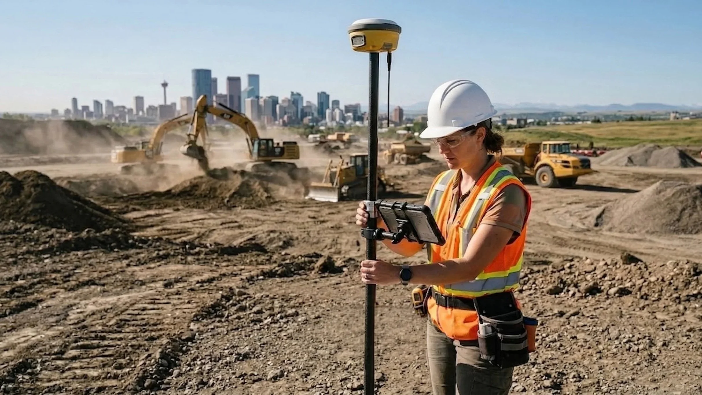
From Point Cloud to Practical Data: Inside the Ortho Maps Workflow
A raw point cloud is just millions of "dumb" dots. Handing that to an engineer is a recipe for disaster. Discover the Ortho Maps geomatics workflow: from rigorous 3TM survey control and noise classification to extracting intelligent geometry at true ground scale. We do the heavy lifting so your design team doesn't have to.
A Common Visual Language: Driving Smarter Project Delivery with Ortho Maps
At Ortho Maps, we don’t just capture data — we deliver spatial intelligence. Explore how our integrated geomatics solutions bring stakeholders together and drive smarter project delivery from planning to turnover.