
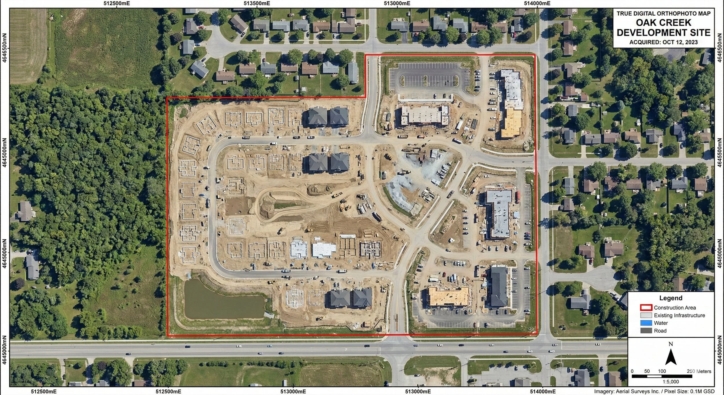
Beyond the Aerial Photo: Understanding Orthographic Mapping in Capital Projects
Before construction begins, understanding the ground truth is essential. Orthophoto mapping provides the critical, distortion-free visual data defining a site's exact layout. Learn how this imagery is captured, orthorectified for precise measurements, and why it is the bedrock of risk mitigation in AEC and capital project development.